Cartography and Geoinformation

Copyright: T. Exel
Visualising and modelling geodata
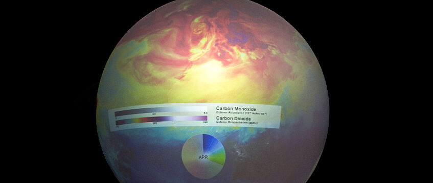
The master’s programme in Cartography and Geoinformation aims at equipping students with competences in cartography and spatial information processing and all related economic and practical aspects, and thereby preparing them for their future profession or a related doctoral programme, as well as for lifelong learning. Graduates have all the necessary skills to deal with a modern multimedia working environment and the most important hardware and software components. They know how to identify and analyse suitable geodata according to space, subject and time as object information for modellings and visualisations. Furthermore, they are able to handle databases and geographical information systems with confidence, conduct rule-based graphical data processing of all forms and for all kinds of user groups, and use publication media, ranging from print media to diverse electronic media (including web publishing). They also learn to analyse the socio-political implications of different techniques and methods used to process and visualise geodata in a critical way (in particular from a gender perspective).
Range of degree programmes
- Master's programme in Cartography and Geoinformation (german only)
